
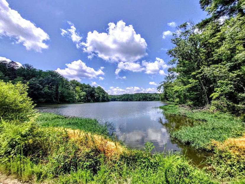
Park
Salem Creek Greenway
What people say
Salem Creek Greenway is a 5.2-mile, eight-foot-wide paved corridor linking Marketplace Mall, Washington Park, Old Salem, Salem College, WSSU, Happy Hill and Reynolds parks, Long Branch and Peachtree greenways, and Salem Lake Park and Trail.
At this place
Upcoming events
Inside this place
Explore the grounds
Choose a destination, preview what it looks like, then open Explorer for live on-site guidance.
Public record
Verified information
What people ask
Useful answers about this place
Frequently requested details, researched and kept current by AuditMap.
What address or entrance should I use for Salem Creek Greenway?
For developed parking, restrooms, and trail access use Washington Park at 1490 South Broad Street or Reynolds Park at 2450 Reynolds Park Road. The route continues 5.2 miles between Marketplace Mall and Salem Lake Park.
Where should I park for Salem Creek Greenway?
Choose a trailhead for your planned segment. Washington, Happy Hill, Reynolds, and Salem Lake parks provide practical developed access; do not assume a 5.2-mile one-way trip returns to your vehicle.
When is Salem Creek Greenway open?
Use the greenway from sunrise to sunset and follow the hours of each connected park. Flooding, construction, events, bridge work, and park operations can close individual sections.
Is Salem Creek Greenway free?
General greenway access is free. Parking restrictions, rentals, programs, events, and connected attractions may have separate costs.
Are there restrooms at Salem Creek Greenway?
Restrooms are available at several connected parks, including Washington, Happy Hill, Reynolds, and Salem Lake, during facility operating conditions. They are not continuous along the route.
What accessibility information should I know about Salem Creek Greenway?
The principal route is an eight-foot paved shared-use trail, but road crossings, grades, bridges, underpasses, flooding, construction detours, and park connections vary.
What are the paths or trails like at Salem Creek Greenway?
The 5.2-mile route links to Salem Lake Trail, Strollway, Long Branch Trail, Peachtree Greenway, and other local routes. Plan distance and return transportation before combining corridors.
What can families do at Salem Creek Greenway?
A short out-and-back from a park trailhead provides restrooms, play areas, or picnic options. Supervise children around creek edges, road crossings, bridges, underpasses, and faster bicycle traffic.
Can I bring a dog to Salem Creek Greenway?
Leashed dogs may use the greenway where posted rules permit. Keep leashes short around cyclists and crossings, remove waste, and follow separate rules in connected parks.
Can I picnic at Salem Creek Greenway?
Use designated shelters and picnic areas at connected parks rather than blocking the shared trail. Reserve shelters for guaranteed group use.
What landmarks or areas should I look for at Salem Creek Greenway?
Connections include Washington Park, Gateway Nature Preserve, Old Salem, Salem College, WSSU, Happy Hill Park, Reynolds Park, Salem Lake Park, Strollway, and Long Branch and Peachtree greenways.
What closures or conditions can affect Salem Creek Greenway?
Creek flooding, storms, races, construction, bridge or utility work, and connected-park closures can interrupt segments. Check current City alerts after heavy rain and before a through-trip.
Quick community check
Help verify this place
Know this place? Check one detail from a recent visit.
✓ Accurate × Incorrect ? Unsure
Community for this place
What people are noticing
Ask a question, share what changed, or help make a detail more reliable.
The place logUseful questions, updates, and confirmations from this community.
Keep exploring
Nearby public places
Based on this place's location and public details, not your activity.