
 1
destination
1
destination
Park
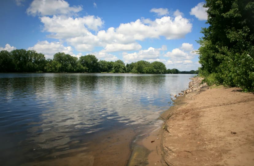
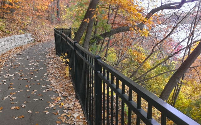
Mississippi Gorge Regional Park
What people say
A 132-acre urban river gorge between Bridge 9 and Minnehaha Regional Park, with bluff-top parkways, Winchell Trail, river flats, forest, overlooks, stairs, beaches, regional trails, and rare Mississippi gorge geology.
At this place
Upcoming events
Inside this place
Explore the grounds
Choose a destination, preview what it looks like, then open Explorer for live on-site guidance.
1
destination
 2
destination
2
destination
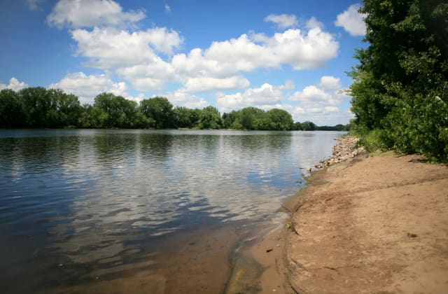
East River Flats Park
East River Flats provides developed river access below the University of Minnesota, with event lawns, boat activity, paths, and seasonal facilities.
3
destination
Bohemian Flats Park
Bohemian Flats is a west-bank river lawn and launch area below Washington Avenue, used for events and regional trail connections. 4
destination
4
destination
Franklin Avenue Bridge Overlook
Franklin Avenue Bridge offers broad gorge views from pedestrian sidewalks; traffic, wind, construction, and bridge approaches affect comfort.
5
destination
36th Street Gorge Stairs
The 36th Street gorge stairs descend from West River Parkway toward Winchell Trail; expect long steps, no elevator, and seasonal ice or closures.
6
destination
44th Street Gorge Stairs
The 44th Street stairs connect bluff-top neighborhoods to lower gorge routes and require a return climb with no nearby restroom.
7
destination
Mississippi Gorge Regional Trail
The paved regional trail follows river parkways for biking, walking, and mobility access, with bridge connections between banks.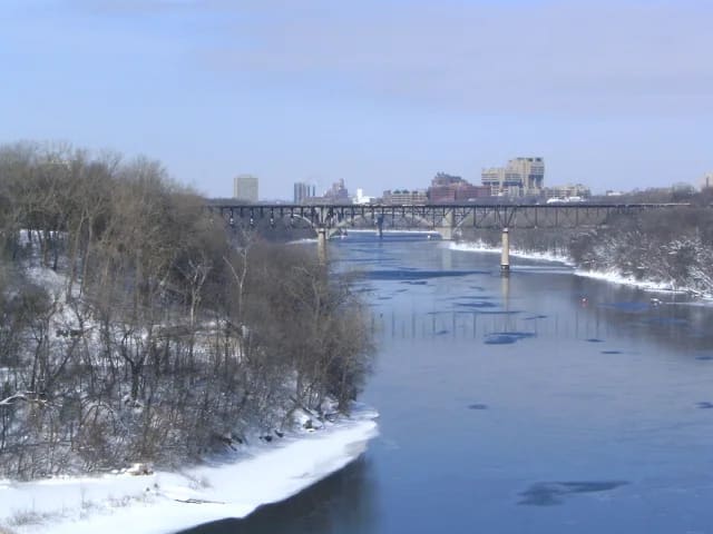 8
destination
8
destination
Riverside Park
Riverside Park is a developed neighborhood gateway above the west bank with recreation space and connections toward gorge trails.Public record
Verified information
What people ask
Useful answers about this place
11 answers
Frequently requested details, researched and kept current by AuditMap.
When is Mississippi Gorge Regional Park open?
Developed areas generally follow 6:00 a.m.-midnight hours and undeveloped natural areas 6:00 a.m.-10:00 p.m. Trail, stair, beach, flood, and construction closures may be more restrictive.
Where should I park for Mississippi Gorge Regional Park?
Use legal parkway or neighborhood spaces near a named access point. Many trail stairs have little or no dedicated parking, and opposite riverbanks require bridge crossings.
What is the best entrance for Mississippi Gorge Regional Park?
Choose the west-bank Winchell Trail and numbered stair access, East River Flats near the university, Bohemian Flats, or a regional-trail segment before traveling.
Are there restrooms at Mississippi Gorge Regional Park?
Facilities are limited and concentrated at developed parks such as East River Flats or nearby recreation nodes. Natural gorge paths and stair accesses usually have none.
Is Mississippi Gorge Regional Park free?
Trails, overlooks, river flats, and ordinary park access are free. Parking, reservations, rentals, and events may cost.
How accessible is Mississippi Gorge Regional Park?
Bluff-top paved regional trails provide the most accessible experience. Winchell Trail, riverbank paths, beaches, and long stairways are steep, uneven, and seasonally muddy or icy.
Are dogs allowed at Mississippi Gorge Regional Park?
Leash dogs and keep them on designated paths; steep bluffs, wildlife habitat, fast water, bikes, and narrow trails require close control.
Is Mississippi Gorge Regional Park good for children?
Paved river overlooks and developed flats can suit families, while Winchell Trail and gorge stairs require trail readiness and direct supervision.
How do I reach Mississippi Gorge Regional Park without a car?
Metro Transit, university routes, biking, walking, and bridge connections serve the corridor. Plan which bank you need before arrival.
What should I know before visiting Mississippi Gorge Regional Park?
River level, erosion, fallen trees, spring flooding, winter ice, and stair maintenance can change access quickly. Do not climb closed slopes or treat informal river edges as guarded beaches.
What weather should I check before visiting Mississippi Gorge Regional Park?
Check the Twin Cities forecast for thunderstorms, heat or air-quality alerts, wind, snow, ice, extreme cold, flooding, and current park notices. Beaches, water features, trails, ski routes, river access, concessions, and outdoor attractions can close independently as conditions change.
Quick community check
Help verify this place
Know this place? Check one detail from a recent visit.
✓ Accurate × Incorrect ? Unsure
Community for this place
What people are noticing
Ask a question, share what changed, or help make a detail more reliable.
The place logUseful questions, updates, and confirmations from this community.
Keep exploring
Nearby public places
Based on this place's location and public details, not your activity.